Officials keep close eye on Karen as she approaches coast
Published 10:58 pm Thursday, October 3, 2013
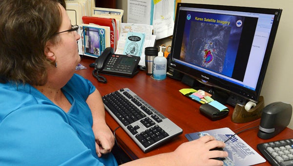
cking: Dallas County Emergency Management Director Rhonda Abbott looks over a satellite image of Tropical Storm Karen while participating in a conference call with members of the National Weather Service’s Mobile office Thursday. — Jay Sowers
A tropical depression moving out of the Caribbean Sea and into the Gulf of Mexico has gathered in strength enough to earn both a name and the attention of forecasters and emergency personnel in Selma and throughout the Gulf Coast region.
A hurricane watch was issued for coastal regions stretching from Southeastern Louisiana in to the Florida panhandle.
Jeff Garmon, Warning Coordination Meteorologist with the NWS office in Mobile, said the storm has the potential to become a hurricane while it crosses the Gulf of Mexico, but that it should weaken back to a tropical storm before making landfall later this week.
“We do think that Karen will strengthen to a Category 1 Hurricane over the central Gulf of Mexico, but it should weaken after it is influenced by a trough,” Garmon said.
Rhonda Abbott, Dallas County Emergency Management Director, said she has been keeping a close eye on storm reports from the NWS, and she believes the region will see some rain and steady wind, but nothing like larger storms that have hit the area in the past.
“The National Weather Service still feels this will just be a rain event,” Abbott said. “It doesn’t resemble Hurricane Ivan or any other major storm at this point.”
Abbott said downed trees and localized flooding are the main things she believes the storm could bring to the area.


