Hot, dry fall ahead
Published 9:04 pm Monday, September 20, 2010

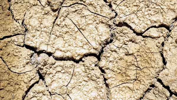
Forecasters predict a hot, dry fall for Alabama, which could mean drought conditions in some areas of the state. -- File photo
Summer may have a few hours remaining, but it’s going to make sure it leaves its mark on this area and the foreheads of those who spend anytime outside over the next few days.
The official end to summer comes Wednesday at 10:09 p.m., when fall comes rolling in. But, according to meteorologists with the National Weather Service office in Calera, don’t expect fall to come calling with cooler temperatures.
“We should see a little break about Wednesday, but temperatures will still be well above normal,” National Weather Service meteorologist Angel Montanez said Monday. “The average temperature right now for the Montgomery area should be 87. Today that area hit 98.”
The beginning of fall is marked by what is called the autumnal (or fall) equinox, when supposedly the day is marked by the same number of hours of daylight as the number of hours of night. But that phenomenon won’t actually happen until a few days later. After that, the next season, winter, will kick in on Dec. 21 at 5:38 p.m.
But before then, Montanez said there is a 50 percent chance the area will experience a warmer fall than normal, but a very good chance the area will see a much drier fall than normal.
“This summer has been brutal when it has come to heat and dry weather,” Montanez said. “And when the air is dry, it’s easier to heat.”
The most recent report from the U.S. Drought Monitor showed the entire Black Belt area in the abnormally dry category, but Montanez said that might change.
“If we do not get some rain in that area soon, we could be looking at worsening drought conditions for a big portion of the state,” Montanez said.
The drought report, which was released last Tuesday, showed a little more than 86 percent of Alabama was in some stage of drought, with 11.3 percent in what was considered severe drought. Those areas included central east Alabama around Lake Martin and portions of the Wiregrass in southeast Alabama near Enterprise and Dothan.


